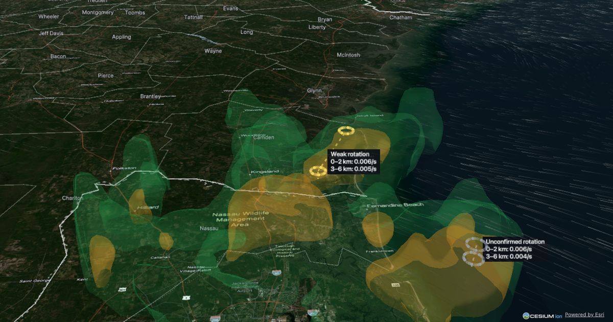
3D Weather Map is in closed beta
Your 7-day trial of premium 3D has ended. Thank you for trying it. The free map stays open, and we'll email you when premium 3D launches.
Want premium 3D back now? Invite a friend: when they sign up, you get a week back and they get an extra week.
Live storms on Google's photorealistic 3D map for 7 days.
or sign up with email
Check for a sign-in link (it can take a minute; look in spam too). Open it on this or any device.
Already have an account? Use the same buttons to sign in. No password. Unsubscribe anytime. By signing in you agree to the Terms; see Privacy.
or
You're on the list. We'll email you about the launch and major updates.
3D Weather Map turns NOAA's public radar data — the national MRMS mosaic plus high-detail NEXRAD Level II from individual radar sites — into live 3D. For official warnings and safety decisions, follow the National Weather Service. Privacy · Terms