Storms › 2026
Flash flood emergency — Poplarville, MS, Oct 31, 2026
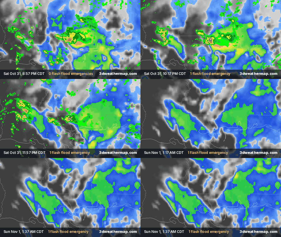
There's no 3D replay of this event: the 3D map replays only the last 48 hours, and replays of past outbreaks and floods aren't available yet. The radar loop above shows the event.
Summary
The National Weather Service issued 1 flash flood emergency between 9:47 PM CDT Sat, Oct 31 and 12:45 AM CDT Sun, Nov 1, 2026, in Mississippi. A flash flood emergency is NWS's highest flood alert: a severe threat to life and catastrophic damage from flash flooding.
Flash flood emergencies
| Issued (CDT) | Warning | Where | Text |
|---|---|---|---|
| 9:47 PM CDT Sat, Oct 31 | Flash flood emergency | Poplarville, MS | NWS LIX |
About this page
Created automatically when NWS warnings crossed our thresholds (1 flash flood emergency) and built only from National Weather Service warnings and local storm reports (via the Iowa Environmental Mesonet archive), the Storm Prediction Center's Day 1 outlook, NOAA MRMS radar and GOES satellite imagery. "Flash flood emergency — Poplarville, MS" is our descriptive title, not an official name. Times are CDT.