Storms › 2026
Subtropical Storm Josephine (2026)
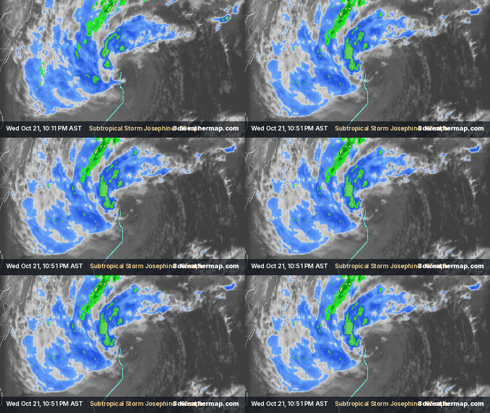
Replays Josephine's whole life from our archive — satellite cloud tops all the way, NHC track, radar where it was in range — in about 30 seconds; or jump to a highlight.
Summary
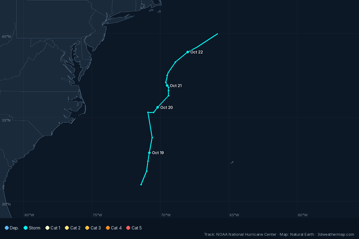
The National Hurricane Center (NHC) began advisories on Subtropical Storm Josephine at 5:00 PM AST Wed, Oct 21, 2026, when it was 265 mi S of Nantucket Massachusetts, with maximum sustained winds of 65 mph.
Its highest maximum sustained winds in NHC products were 65 mph (105 km/h), at 5:00 PM AST Wed, Oct 21; the lowest central pressure reported was 988 mb (29.18 inches), at 11:00 PM AST Wed, Oct 21.
NHC's last product on Josephine was Post-Tropical Cyclone Josephine Advisory Number 5, issued at 5:00 PM AST Thu, Oct 22, 2026.
From NHC public advisories and updates. Operational values — NHC's final best-track report may revise them.
Track
Remnants
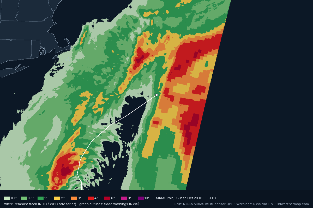
After NHC's final advisory (5:00 PM AST Thu, Oct 22) the remnants are followed by NOAA's Weather Prediction Center; heavy rain and flooding can go on far inland. Facts below come from WPC advisories, NWS flood warnings along the remnant track (within ~190 mi) and NOAA MRMS radar-and-gauge rain estimates.
NHC advisory timeline
| Issued (AST) | NHC | Status · headline | Winds | Pressure | Position · motion |
|---|---|---|---|---|---|
| 5:00 PM AST Thu, Oct 22 | Adv. 5 | Post-Tropical CycloneJOSEPHINE BECOMES A POWERFUL EXTRATROPICAL LOW | 65 mph | ||
| 11:00 AM AST Thu, Oct 22 | Adv. 4 | Subtropical StormJOSEPHINE MOVING NORTHEASTWARD ACROSS THE NORTHWESTERN ATLANTICEXPECTED TO BECOME A POWERFUL EXTRATROPICAL CYCLONE THIS AFTERNOON OR TONIGHT | 65 mph | ||
| 5:00 AM AST Thu, Oct 22 | Adv. 3 | Subtropical StormJOSEPHINE ACCELERATING NORTHEASTWARD AWAY FROM THE UNITED STATESEXPECTED TO BECOME A POWERFUL EXTRATROPICAL CYCLONE | 65 mph | ||
| 11:00 PM AST Wed, Oct 21 | Adv. 2 | Subtropical StormJOSEPHINE EXPECTED TO MOVE NORTHEASTWARD AWAY FROM THE UNITED STATES ON THURSDAYFORECAST TO BECOME A POWERFUL EXTRATROPICAL CYCLONE | 65 mph | ||
| 5:00 PM AST Wed, Oct 21 | Adv. 1 | Subtropical StormSUBTROPICAL STORM JOSEPHINE FORMSFORECAST TO MOVE NORTHEASTWARD AWAY FROM THE UNITED STATES | 65 mph |
About this page
Built automatically from National Hurricane Center products (public advisories, intermediate advisories and tropical cyclone updates, linked above), NOAA GOES satellite imagery and NOAA MRMS radar. Times are AST (UTC-4), as in NHC's products.